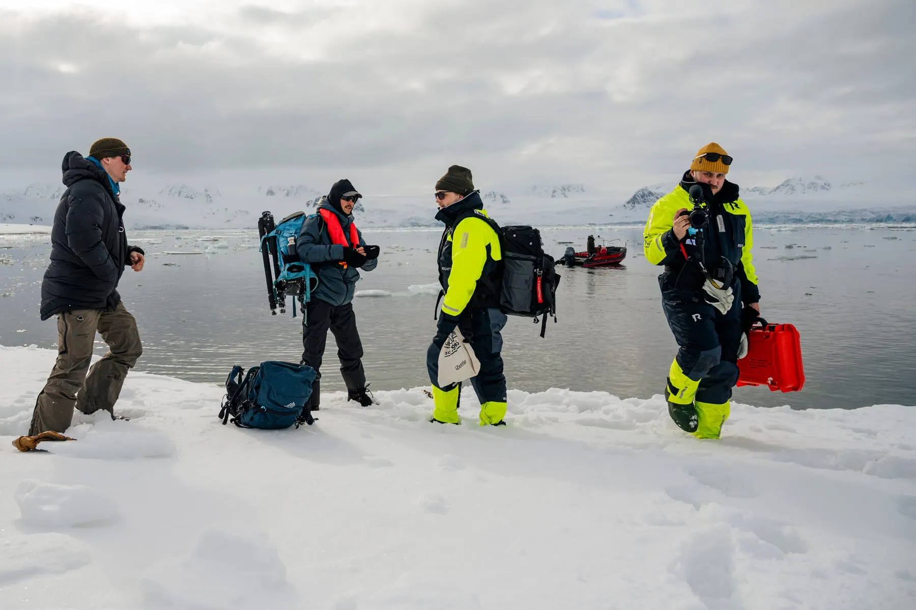
We have scanned glaciers and icebergs in Svalbard for Important Looking Pirates' visual effects on Netflix's Avatar: The Last Airbender, Stonehenge for National Geographic, the Cold War fort Victoriafortet for The National Swedish Museums of Military History, the temple Candi Tinggi in Indonesia, and the Tarfala valley below Kebnekaise from a helicopter and drones.
We deliver what the job needs: textured 3D models, point clouds, Gaussian splats, panoramas and every source image. Museums, film and VFX studios use our scans, and so do the films and interactive experiences we make ourselves.
What can you 3D-scan?
Places, and the large things in them. Most of our work is outdoors and on location, often far from a road.
- Heritage sites and buildings: Stonehenge, the Cold War fort Victoriafortet in northern Sweden, and the brick temple Candi Tinggi in Muarajambi, Indonesia.
- Landscapes and glaciers: glaciers and icebergs in Svalbard, Thingvellir National Park in Iceland, and the Tarfala valley and Storglaciären in Swedish Lapland.
- Interiors: the inside of Victoriafortet, scanned with LiDAR and photogrammetry and rebuilt as a VR environment.
- Caves: we have scanned caves in Kyrgyzstan and beyond.
- Monuments and stones: all 120+ stones and fragments of Stonehenge, and the boulder E-stenen in Tarfala from 962 drone photos.
Photogrammetry, LiDAR or Gaussian splatting: which one?
Usually a mix. One well-planned capture can feed several outputs, so we choose the methods from what you need at the end.
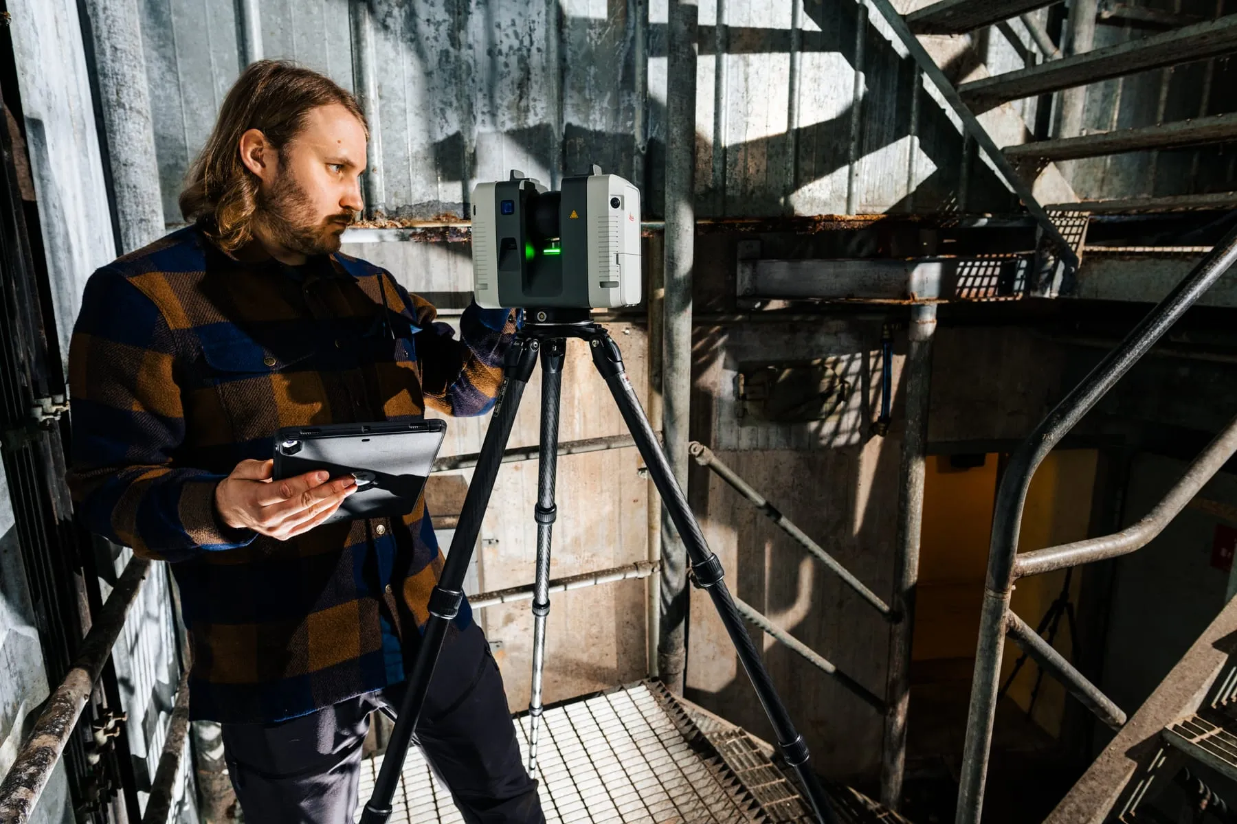
Photogrammetry builds a 3D model from thousands of overlapping photographs, taken from the ground, from a pole, from a drone or from a helicopter. LiDAR measures the shape with a laser. Gaussian splatting turns photographs into a scene that looks real from every angle.
| Method | Best for | Weaker at | Typical output |
|---|---|---|---|
| Photogrammetry | Colour and surface detail, from a stone to a valley | Shiny, transparent or moving surfaces; dark interiors | Textured model, point cloud, orthophoto |
| LiDAR | Fast, accurate shape, also indoors and in poor light | Colour and fine texture | Point cloud |
| Gaussian splatting | Photographic views from any angle, vegetation, reflections, previs | Measurable surfaces and editing | Splat file for viewers and engines |
| Gigapixel and HDR panoramas | Backdrops, lighting reference, 360° views | 3D shape | Panoramas and HDRIs |
What do you deliver, and in which formats?
We deliver to the specification we agree with you. Typical deliverables:
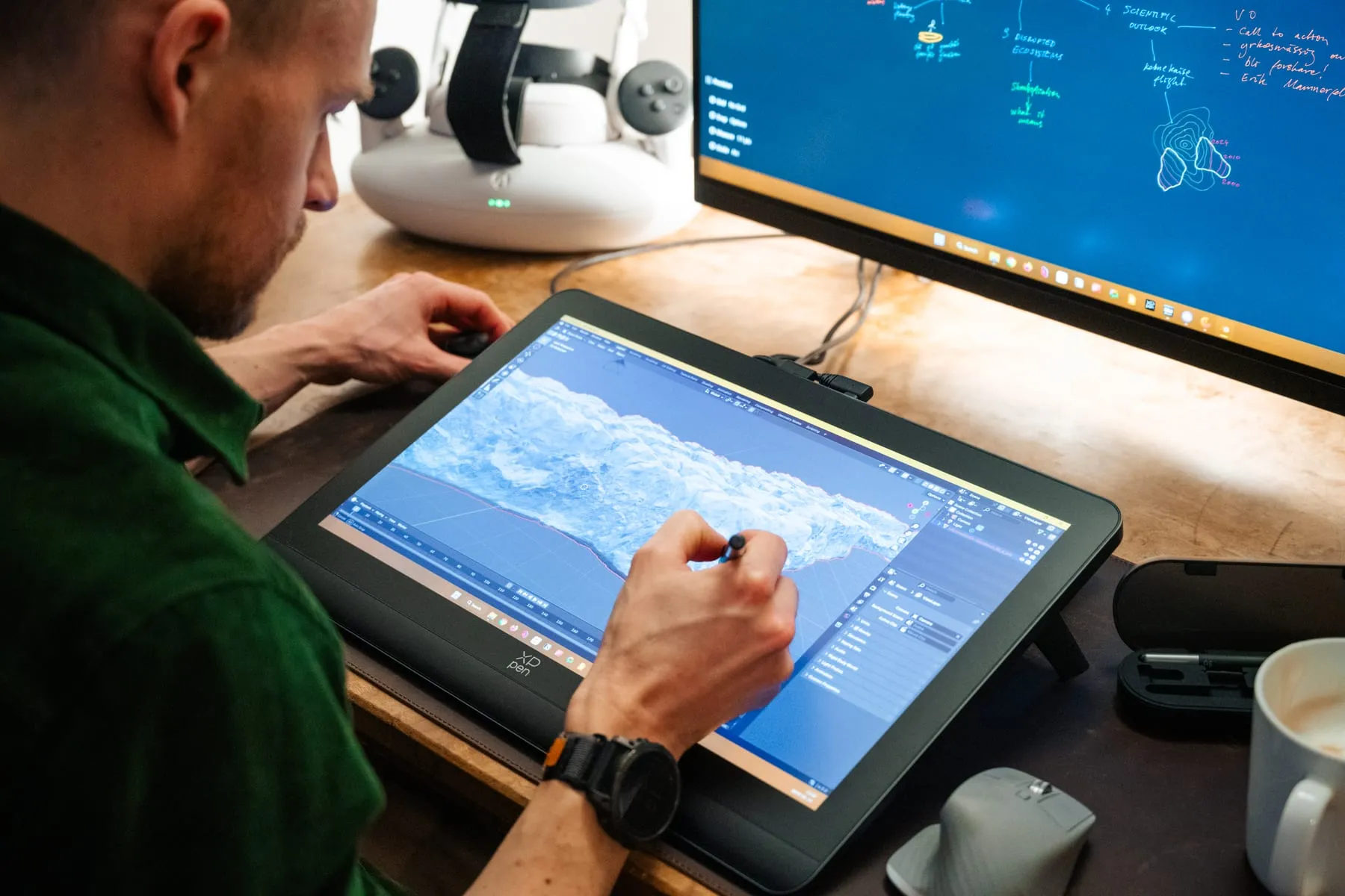
- Textured 3D models, cleaned and optimised: with levels of detail for real-time use, or at full resolution for film.
- Point clouds from photogrammetry and LiDAR.
- Gaussian splats for previs, web viewers and real-time engines.
- Orthophotos and elevation models of terrain.
- Gigapixel and HDR panoramas for backdrops and lighting.
- Every source image with its camera metadata, plus the RealityCapture or Metashape project if you process in-house.
- Any format your pipeline needs, with units and axis set to your spec.
How accurate is it?
That depends on the camera, the distance and how the scan is tied to the ground, so we agree on it before we start. For film and VFX, what matters most is how real it looks and that the scale is right. For research and archives, we tie the scan to control points measured with GPS, as we did in the Tarfala valley, and fill in the surroundings with national elevation data. When a project needs survey-grade accuracy, we have a complete workflow for georeferenced scanning: drones with RTK, PPK processing, and ground control points measured with Emlid RS4 receivers. We use it when the project really needs that level of accuracy.
We also tell you how the data was made: when, with which equipment and with which settings, so the scan can serve as a record later.
Who owns the data?
We agree on it in the contract, before we capture anything. Museums and public bodies often need the right to archive the data and to publish it, sometimes under an open licence such as CC BY. Film and VFX clients often need exclusivity and confidentiality. Both are fine. Tell us at the start, because it affects what we capture and how we deliver it.
How do you look after the data?
On location, every memory card is copied to several drives and checked file by file before it is wiped. We wrote our own tool for this, IVAR Offload, and published it for others to use. We deliver large datasets on drives or by cloud transfer, whichever suits your pipeline, and we work under NDA when a production needs it.
Where do you work?
Wherever we can carry the equipment. We are based in Stockholm and work all over Sweden, from the city to the Kebnekaise massif. We have scanned from an expedition ship in Svalbard, on glaciers in Lapland, in the forest of Sumatra and on the plain around Stonehenge.
Remote work needs planning: permits, drone rules, weather, cold-weather care of the equipment, and people who know the terrain. In Tarfala we work with the team at Stockholm University's research station. We have worked as a two-person team on a single site, and as part of 20-person expedition crews.
How do you work safely in remote places?
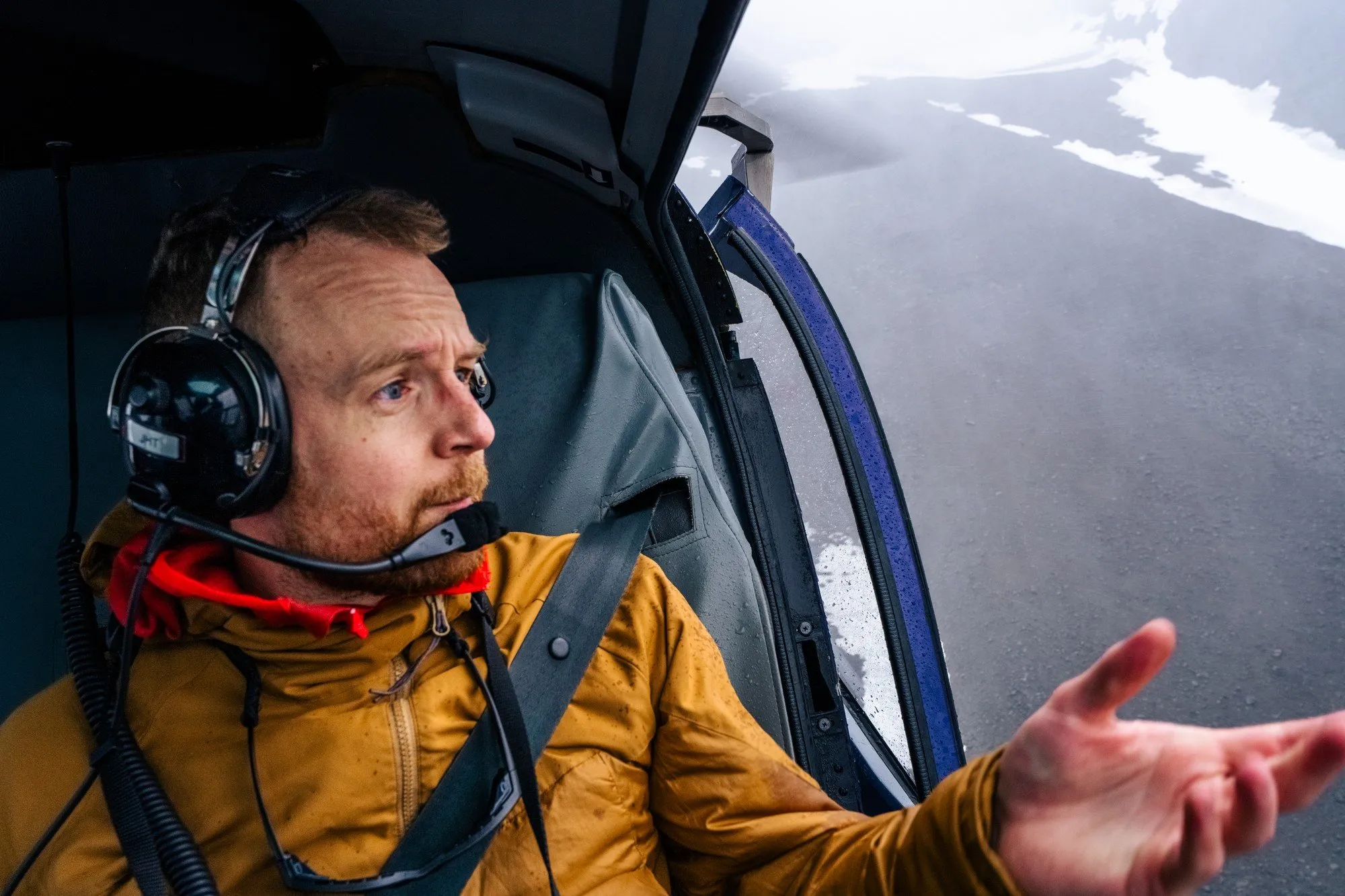
Remote and demanding places are where much of our work happens, from the Arctic to the Himalayas. We are experienced expedition photographers with rope-work skills, and we always work with safety teams who know the terrain, such as the research station team in Tarfala and the expedition guides in Svalbard.
Our drone pilots hold the EASA A1/A3 and A2 certificates, which are valid in every EASA country (the EU, Norway, Iceland, Switzerland and Liechtenstein), and IVAR Studios is a registered drone operator with Transportstyrelsen, a registration that also covers those countries. We carry liability and equipment insurance; certificates on request.
If your production needs a written risk assessment or other paperwork from us, tell us at the start and we include it in the plan.
What does 3D scanning cost?
It depends on four things: the size and complexity of the place, travel and access, the accuracy you need, and what we deliver. A building near Stockholm costs a fraction of a glacier in the Arctic.
We quote per project after a short call. Day rates and pricing per asset work too. If you have a budget, tell us, and we will tell you honestly what it can buy.
What we have scanned
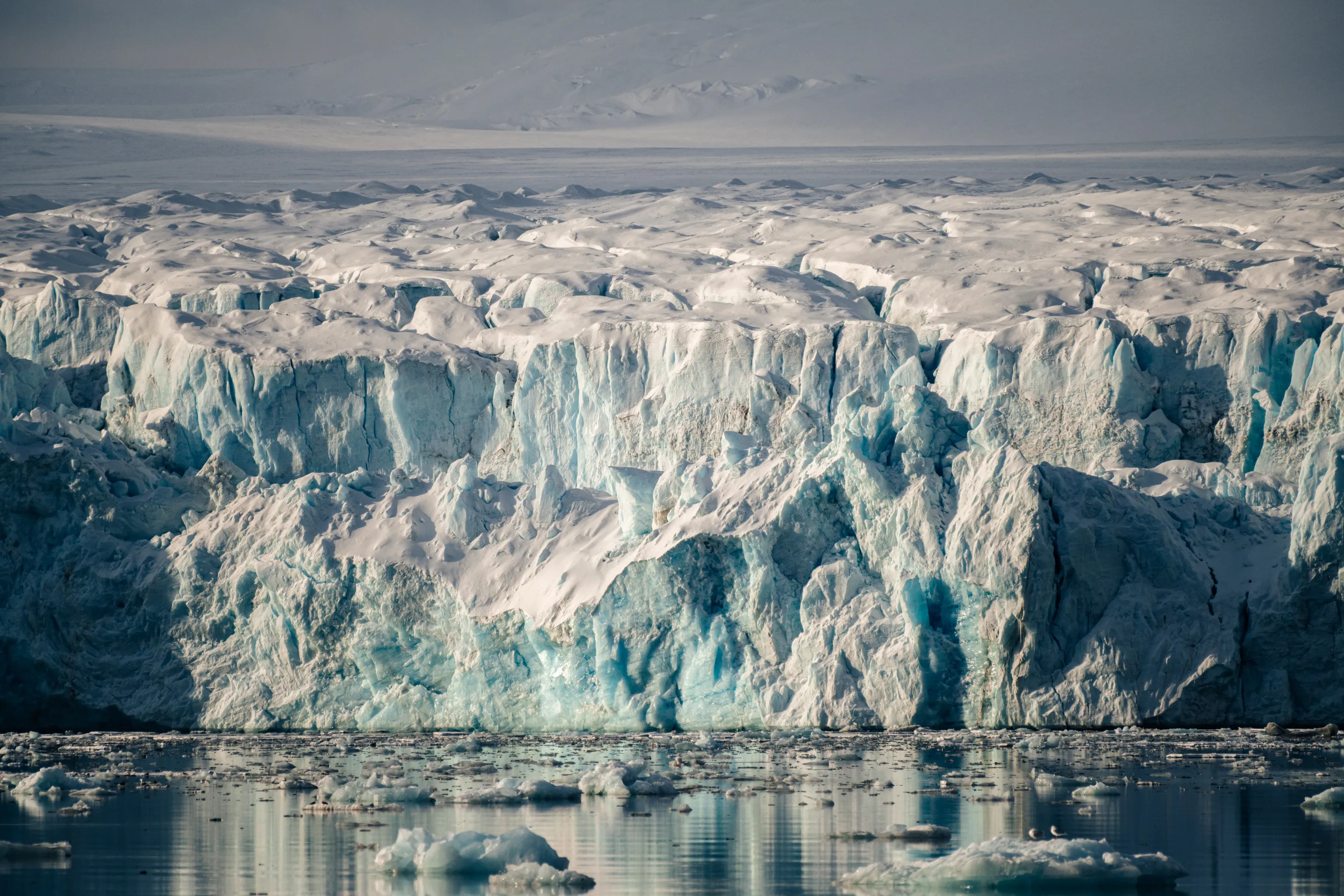
Arctic Environments for Avatar: The Last Airbender
Important Looking Pirates · 2024
A week aboard a ship in Svalbard, scanning glaciers, icebergs and terrain with drones and cameras, plus gigapixel and HDR panoramas. Important Looking Pirates used the scans in its visual effects for Netflix's Avatar: The Last Airbender.
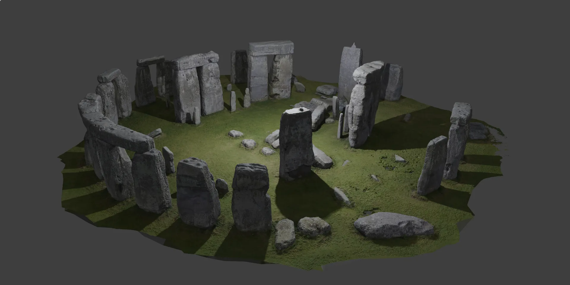
Stonehenge in 3D
National Geographic · 2021
A complete photogrammetric model of Stonehenge for National Geographic: more than 7,000 photos of all 120+ stones and fragments, from the ground and from drones. One model for the archive, one light enough for a phone.
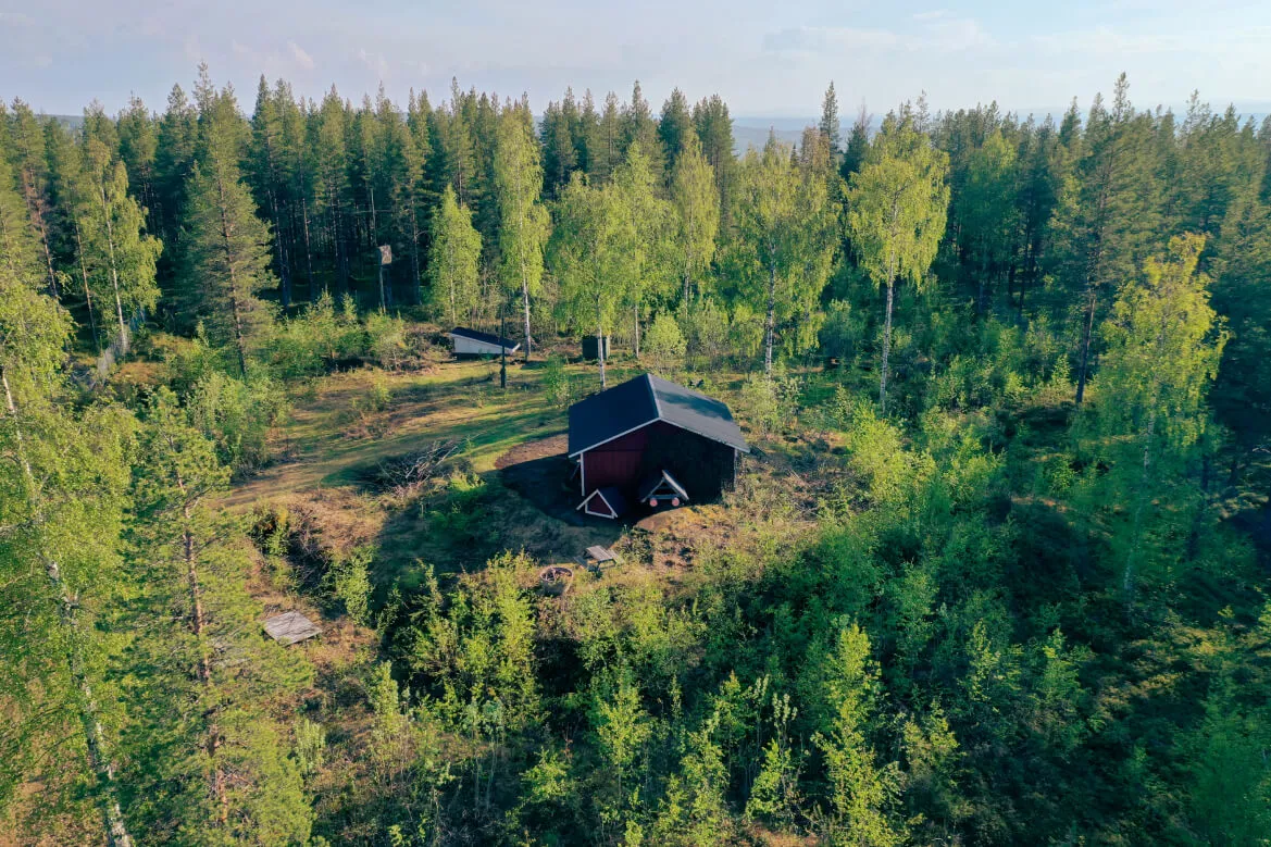
Victoriafortet 3D & 360
The National Swedish Museums of Military History · 2023
LiDAR and photogrammetry of a Cold War artillery fort in northern Sweden for The National Swedish Museums of Military History, rebuilt as a VR environment that visitors can walk through.
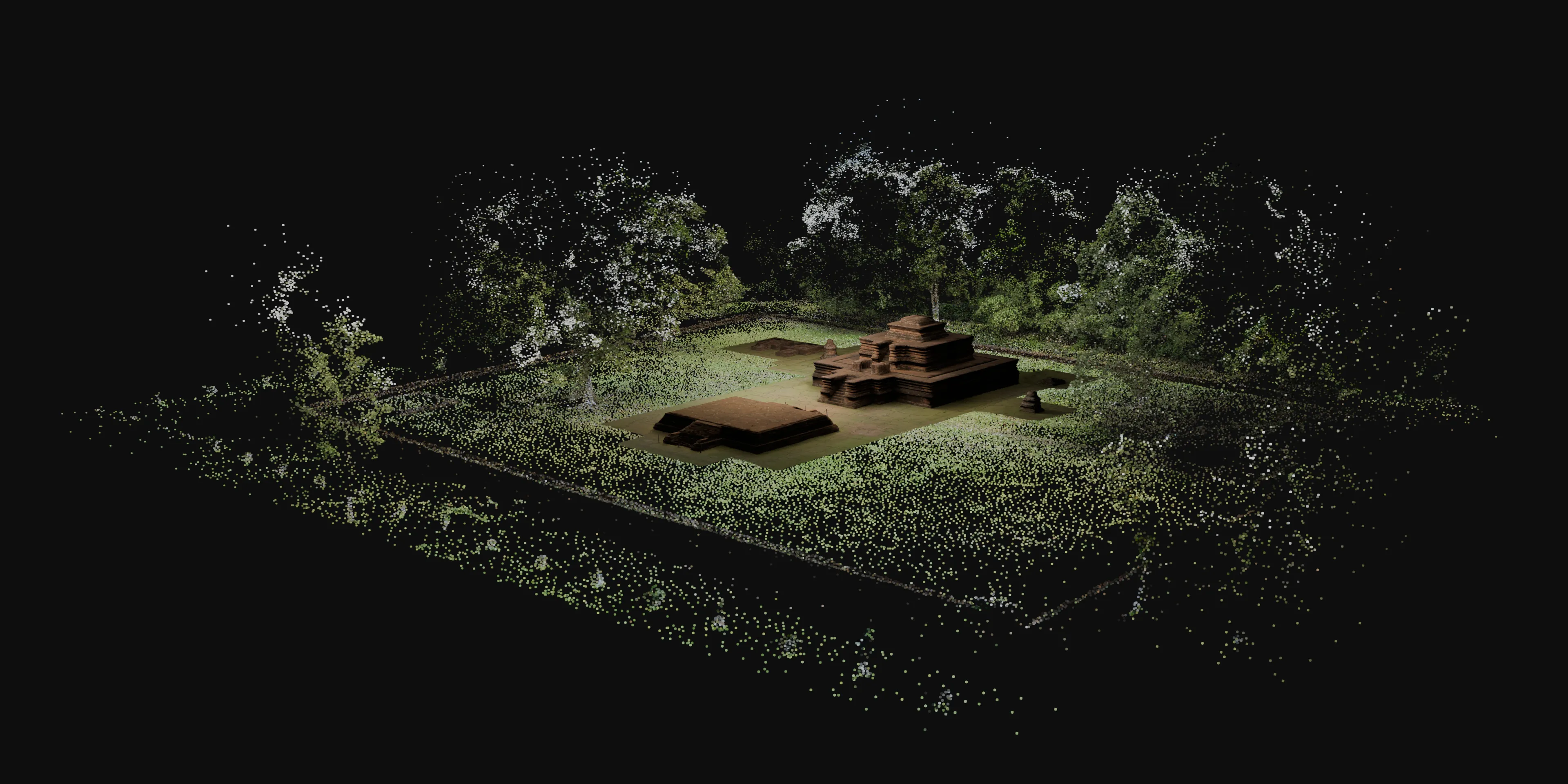
Demystifying Muarajambi
National Geographic CreativeWorks · 2024
Ground-based photogrammetry of Candi Tinggi, a brick Buddhist temple in Muarajambi, Indonesia, for National Geographic CreativeWorks. It is published as a 3D experience that runs in any browser.
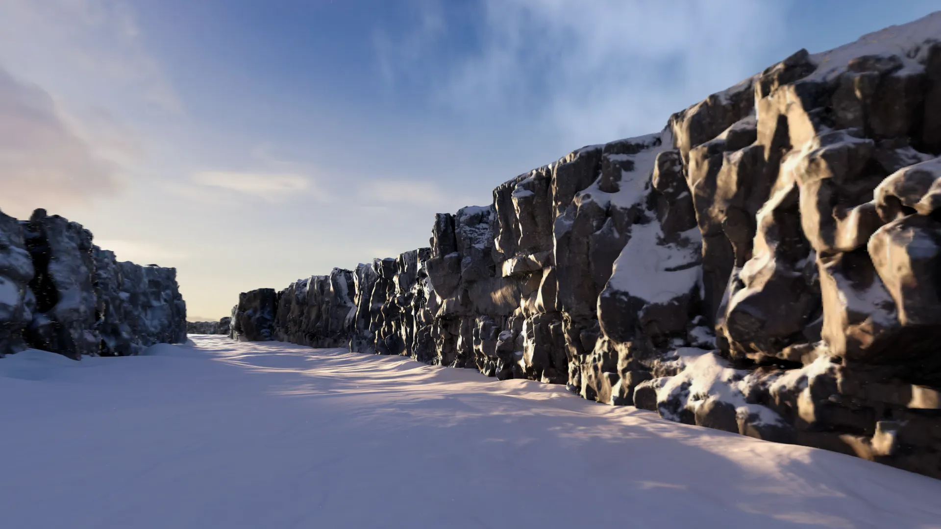
Immersive Environment Thingvellir
National Geographic / Disney · 2024
Photogrammetry and panoramas captured on location at Thingvellir, Iceland, for National Geographic's first immersive environment for Apple Vision Pro, launched on Disney+ in August 2024.
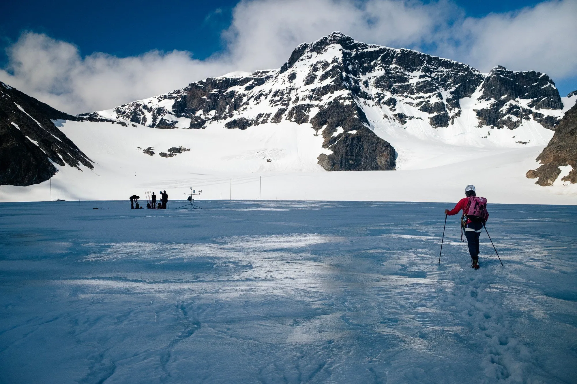
Nordic Glaciers
IVAR Studios · In development
The Tarfala valley in Swedish Lapland, scanned from a helicopter and drones over three seasons and aligned to GPS control points, for an 8K fulldome film made with Stockholm University.
How to brief us
A short email is enough. These answers help us come back with a plan and a price:
- Where is it, and how do we get there?
- What should we capture, and roughly how big is it?
- When can we be on site, and when do you need the data?
- What should we deliver, in which formats, and for which software?
- How will the scan be used: archive, research, film, VFX, a museum or the web?
- Do you have requirements on accuracy, rights, licences or confidentiality?
Who to talk to
We reply within one working day.
Fredrik Edström
Producer and co-founder
New projects, quotes, budgets and partnerships
Martin Edström
Director and co-founder
Creative direction, 3D capture, press and talks
hello@ivar.studio · +46 (0) 733 13 05 69
IVAR Studios AB · Org. nr 559059-5392
Mäster Mikaels gata 2A, 116 20 Stockholm, Sweden