Your reality capture team in the field
Our capture capabilities
Photogrammetry and 3D scanning
Ground-based and aerial photogrammetry from thousands of high-resolution images. We produce detailed mesh models, point clouds and textured assets from real-world environments and objects.
Gaussian splatting and radiance fields
We capture for Gaussian splatting and radiance fields, and deliver trained splats alongside the mesh when you need them for previs or layout - photorealistic real-time views of complex scenes, with view-dependent lighting.
Drone and aerial capture
EASA-certified drone pilots (A1/A3 and A2) with experience in extreme and remote environments. We capture large-scale terrain, architecture and natural formations from the air, tied to ground control points when accuracy matters.
HDR panoramas and gigapixel photography
Full 360-degree HDR environment maps and ultra-high-resolution panoramic photography for lighting reference, backplates and environment reconstruction.
LiDAR scanning
Complementary LiDAR data for accurate geometric reference, especially useful for large environments and interiors where photogrammetry alone may not suffice.
What we deliver
Production-ready 3D assets
Cleaned, retopologized and UV-mapped meshes with PBR textures. Multiple LODs optimized for your target platform - from real-time engines to film-resolution renders. Any format your pipeline needs, in metres and with the axis set to your spec.
Raw capture data
If you prefer to process in-house, we deliver organized source imagery, camera metadata, point clouds and project files compatible with RealityCapture, Metashape and other processing tools.
On-set support
We can embed with your production crew to handle all reality capture on location - coordinating with VFX supervisors, working within your shooting schedule and delivering data to your specs.
Safe data handling
On location, every card is copied to several drives and verified file by file with IVAR Offload, our own tool, before it is wiped. We deliver on drives or by cloud transfer, and work under NDA.
How we price our work
Projects we've captured for
Arctic Environments for Avatar: The Last Airbender
Important Looking Pirates
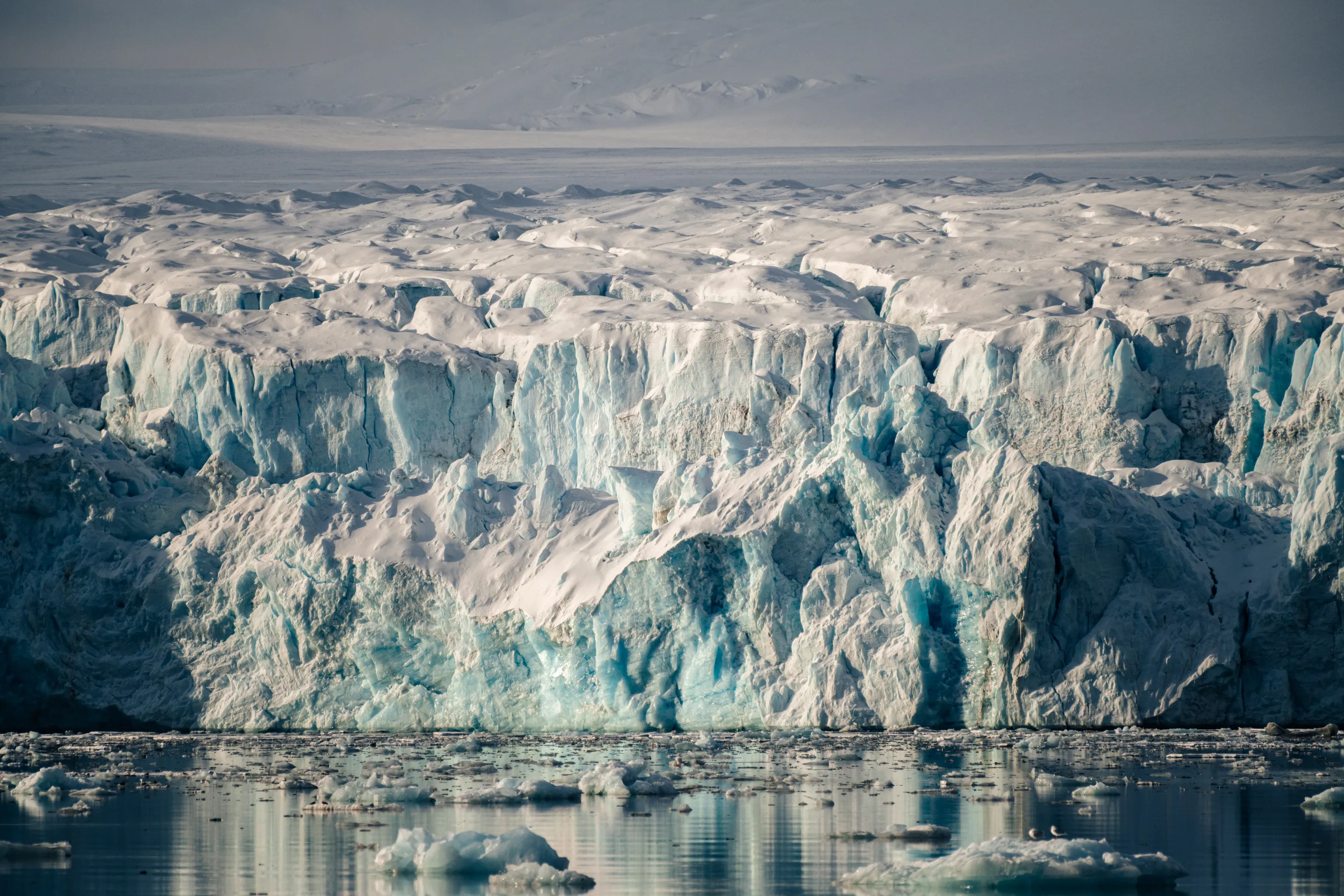
For Netflix's live-action Avatar: The Last Airbender, we spent a week aboard a ship in Svalbard scanning glaciers, icebergs and frozen terrain. Important Looking Pirates used the scans in its visual effects for the Southern Water Tribe's world. The series was nominated for the 2024 Emmy for Outstanding Special Visual Effects.
Stonehenge in 3D
National Geographic
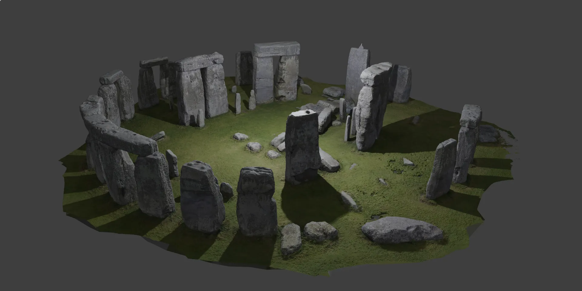
On assignment from National Geographic, we created a complete photogrammetric replica of Stonehenge from over 7,000 images - all 120+ stone pieces captured from every angle using ground cameras and drones. The model became an AR experience used millions of times.
Immersive Environment Thingvellir
National Geographic / Disney
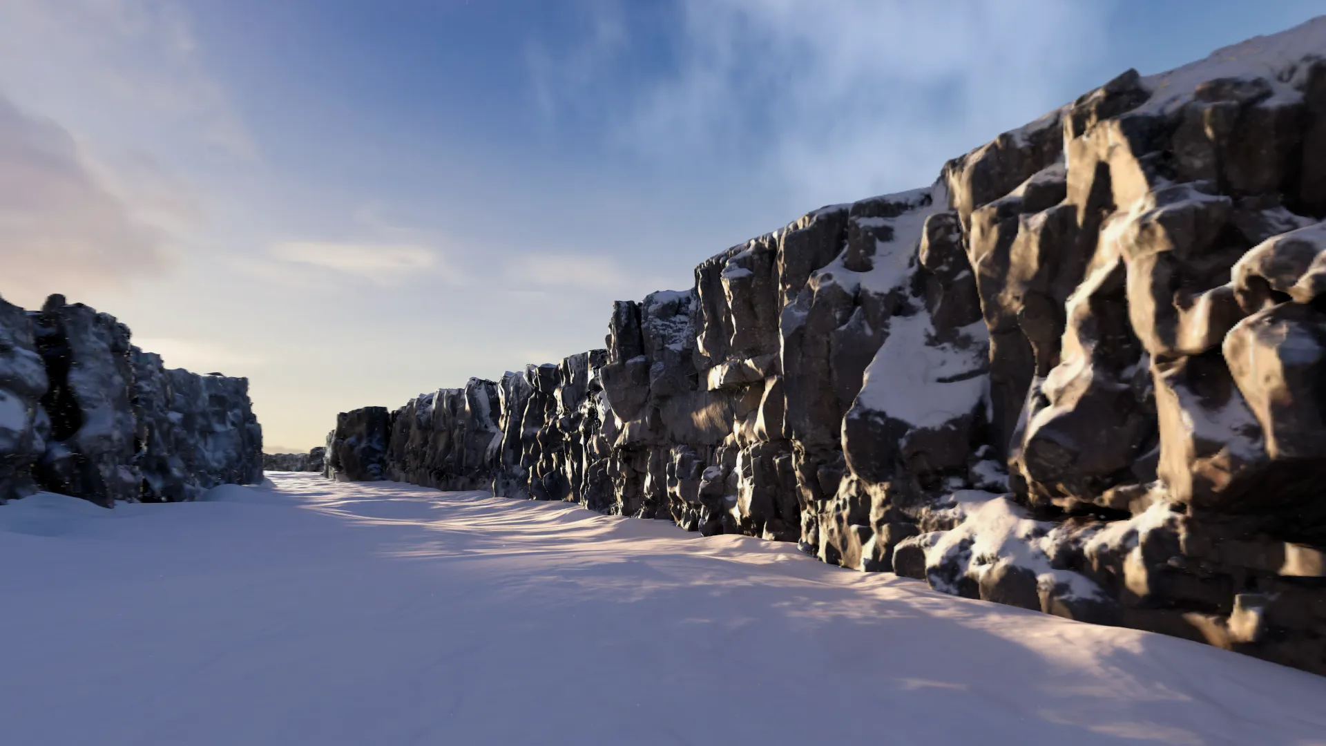
Photogrammetry and gigapixel panoramas captured on location at Thingvellir, Iceland, for National Geographic's first immersive environment for Apple Vision Pro, which Disney Studio Technology built and Disney+ launched in August 2024.
Need reality capture for an upcoming production?
Tell us about the location, the timeline and what you need delivered. We'll scope it out and let you know what's possible.